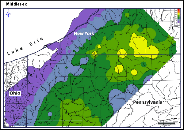
An Isopach map is a contour map showing the distribution and thickness of some substance. It is a map line connecting equal rock thicknesses. A line on a map of the Earth's surface connecting points where a rock stratum has equal thickness. This map is a map of Ludlowville Shale. It is a Isopach map because it represents thickness in feet showing areas ranging from reduced thickness to thickest.

No comments:
Post a Comment