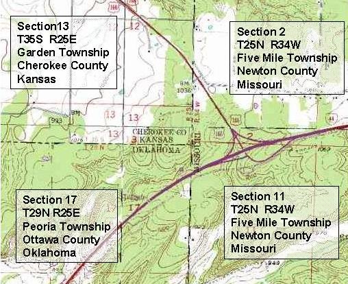
A Public Land Survey System (PLSS) map is a map that represents ways of subdividing and describing land in the United States. The PLSS is used to divide public domain lands. Pulic domains are lands owned by the Federal government that benefit citizens of the United States. The PLSS typically divides land into 6-mile-square townships, which is the level of information included in the National Atlas. Townships are subdivided into 36 one-mile- square sections. This map represents PLSS in that it shows the subdivision of townships between Missouri, Oklahoma, and Kansas.

No comments:
Post a Comment